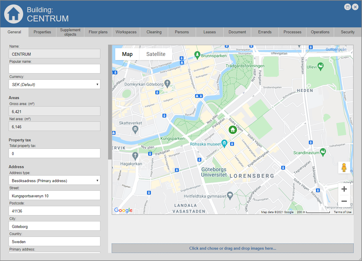
Within the tab called "General", you can view, review, add and edit the general information that is set for the building you are working with (see the image below).
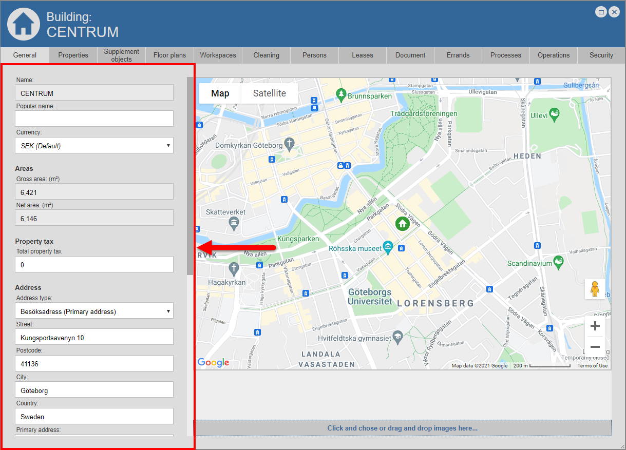
If you scroll down in the left part of the building card, you will see that the general building information is split into seven categories: "Name", "Areas", "Property tax", "Address", "Geo position", "Print QR-code" and " Print all workspace QR-codes" (see image below).
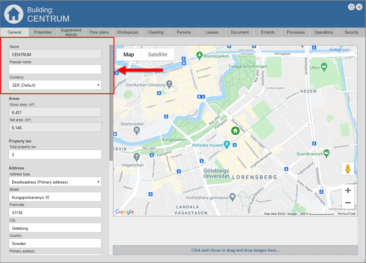
In the category called "Name" you will find three fields: "Name", "Popular name" and "Currency" (see image below).
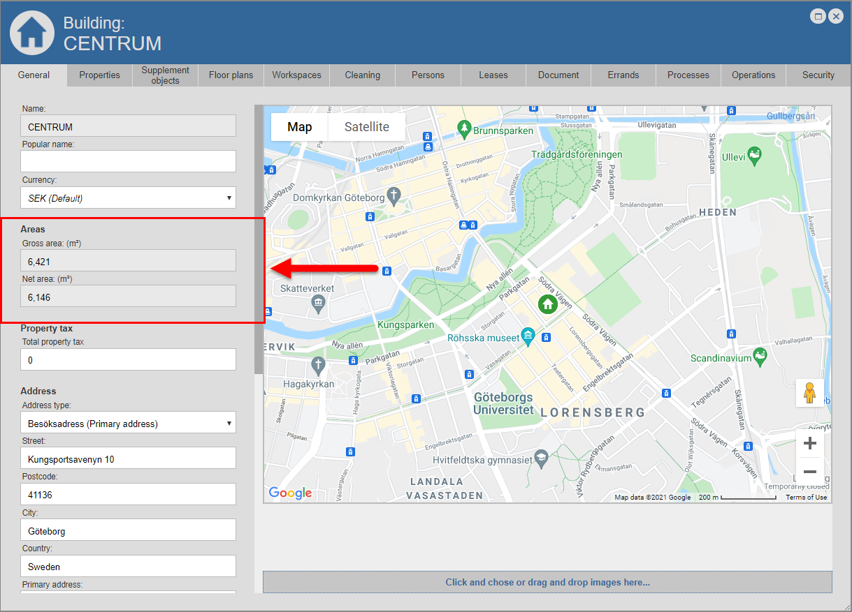
In the category called "Areas" you will find two fields: "Gross area" and "Net area" (see image below).
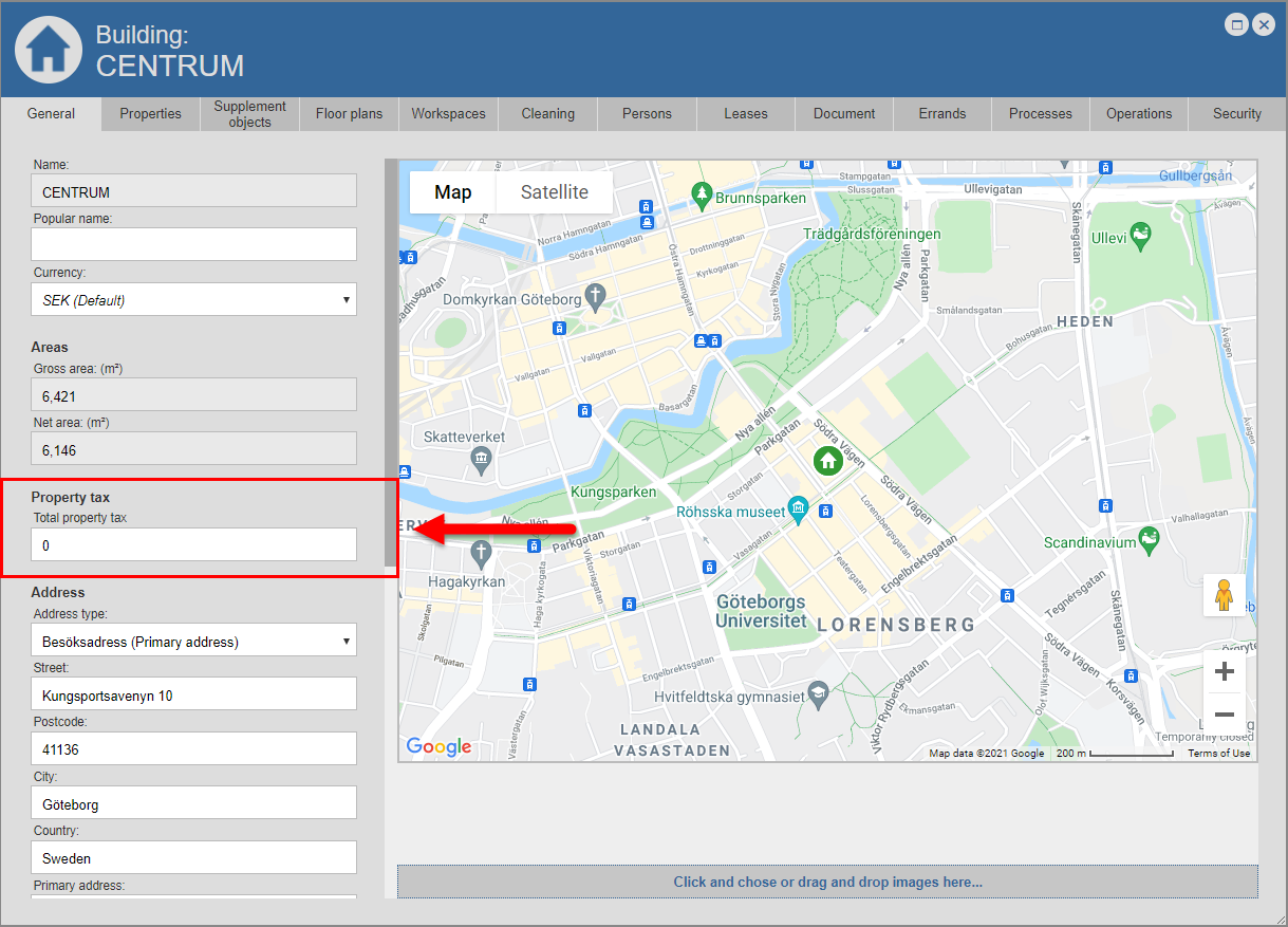
In the category called "Property tax" you will find one field: "Total property tax" (see image below).
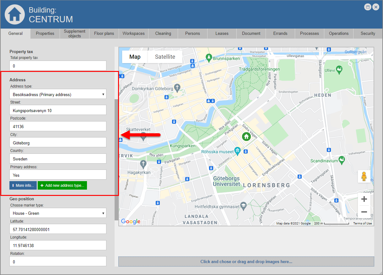
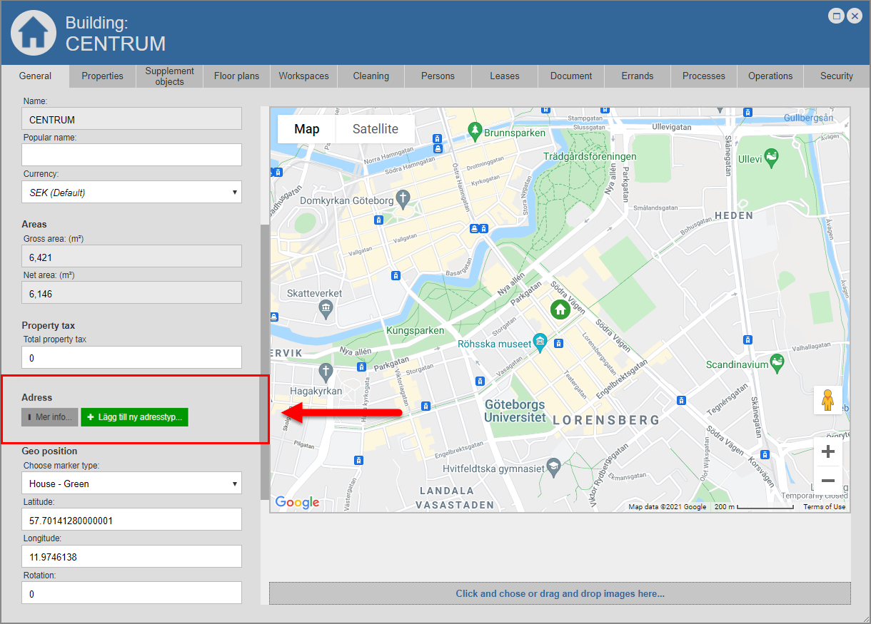
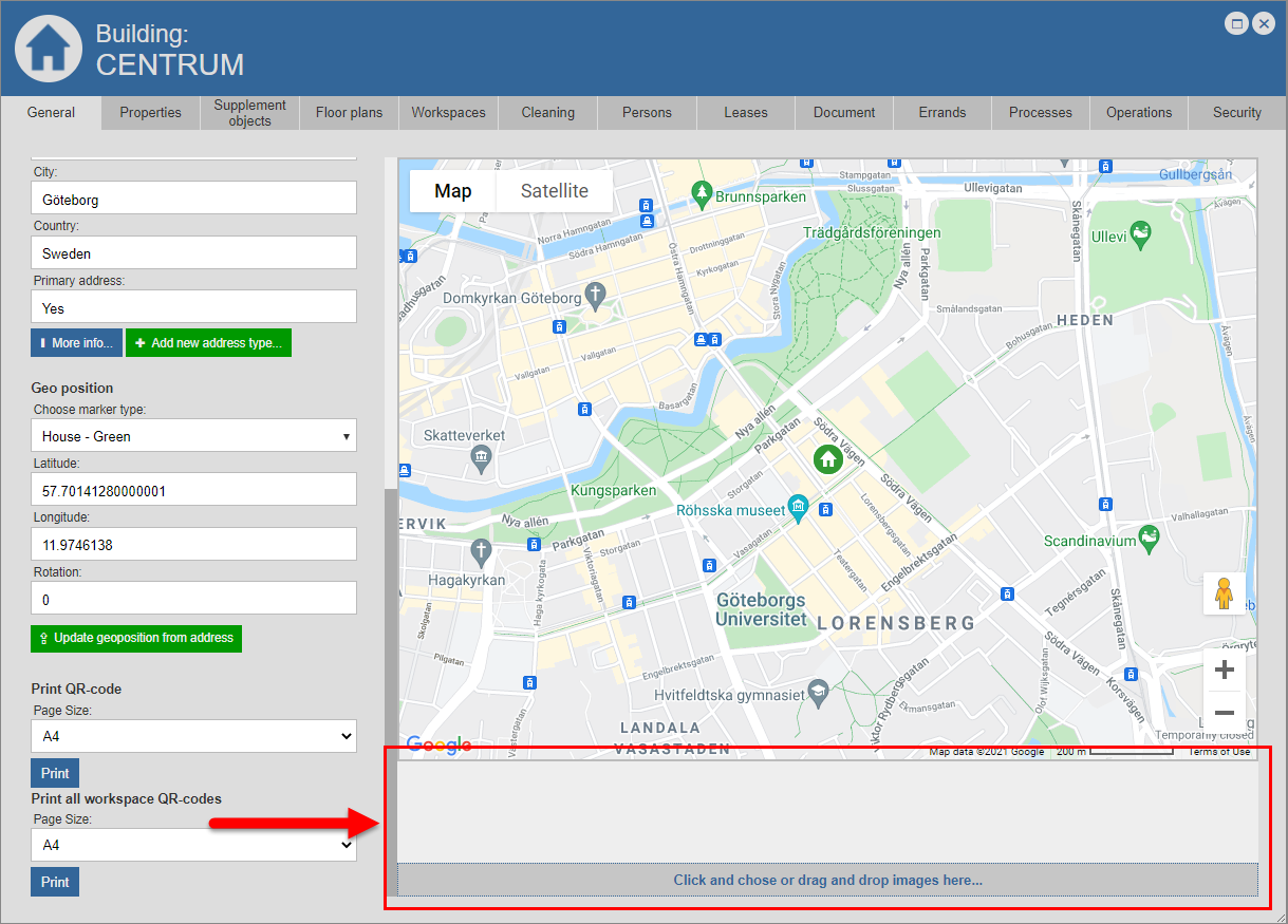
In the category called "Address" you will find either a number of address fields, a button called "More info" and a button called "Add new address type" or a button called "More info" and a button called "Add new address type "(see images below).
In the category called "Geo position" you will find four fields and a button called "Update geoposition from address" (see image below). The fields you find in the category called "Geo position" are called "Choose marker type", "Latitude", "Longitude" and "Rotation".
In the category called "Print QR-code" you will find a field called "Page Size" and a button called "Print" (see image below).
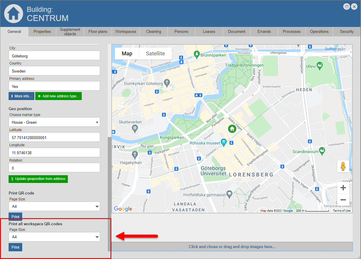
In the category called "Print all workspace QR-codes" you will find one field called "Page Size" and a button called "Print" (see image below).
If you wish, you can add images of the building you are working with to the building's building card (see image below).
For more information about:
-
the category called "Name" and the fields called "Name", "Popular name" and "Currency", see section 8.1.1.
-
the category called "Areas" and the fields called "Gross area" and "Net area", see section 8.1.2.
-
the category called "Property tax" and the field called "Total property tax", see section 8.1.3.
-
the category called "Address" and its buttons and fields, see section 8.1.4.
-
the category called "Geo position", the fields called "Choose marker type", "Latitude", "Longitude" and "Rotation" and the button called "Update geoposition from address", see section 8.1.5.
-
the category called "Print QR-code", the field called "Page size" and the button called "Print", see section 8.1.6.
-
the category called "Print all workspace QR-codes", the field called "Page size" and the button called "Print", see section 8.1.7.
For more information on how to add images of the building you are working with to the building's building card, see section 8.1.8.